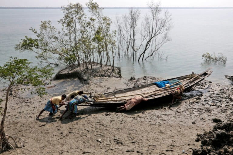
Spanning India and Bangladesh, with India comprising 40% of its area, a vast and ever-shifting mangrove forest stretches across the Bay of Bengal. This vast delta derives its name from the Sundari (Heritiera fomes), the tall mangrove species that flourishes here in abundance. The name “Sundarbans” is a modern rendering of “Sunderbunds,” a term coined by Walter Hamilton in the East India Gazetteer, meaning “Forests of the Soondry” (“Sundri,” or beautiful). Heritiera fomes is the abundant tall mangrove species of the region. Where the rivers Ganga (Padma in Bangladesh), Brahmaputra, and Meghna discharge into the Bay of Bengal, they form the Sundarbans — the largest contiguous mangrove forest on Earth. Toward the coast, the forest transitions into a low-lying swamp of sand dunes, mud flats, and barren expanses, intersected by innumerable tidal streams and channels. Four protected areas within this remarkable landscape are recognised as UNESCO World Heritage Sites: Sundarbans West, South, and East in Bangladesh, and Sundarbans National Park in India. The nutrient-rich mangrove waters of India’s eastern coast form a vital breeding ground and nursery for roughly 90% of the region’s aquatic species. The ecosystem is notable for supporting overlapping populations of threatened aquatic mammals, including the Ganges river dolphin and the Irrawaddy dolphin. This extraordinary species concentration in the Sundarbans stems from the dynamic mixing of freshwater from major rivers — the Ganga and the Brahmaputra among them — with the saltwater of the Bay of Bengal. As Amitav Ghosh writes in his 2004 book The Hungry…This article was originally published on Mongabay